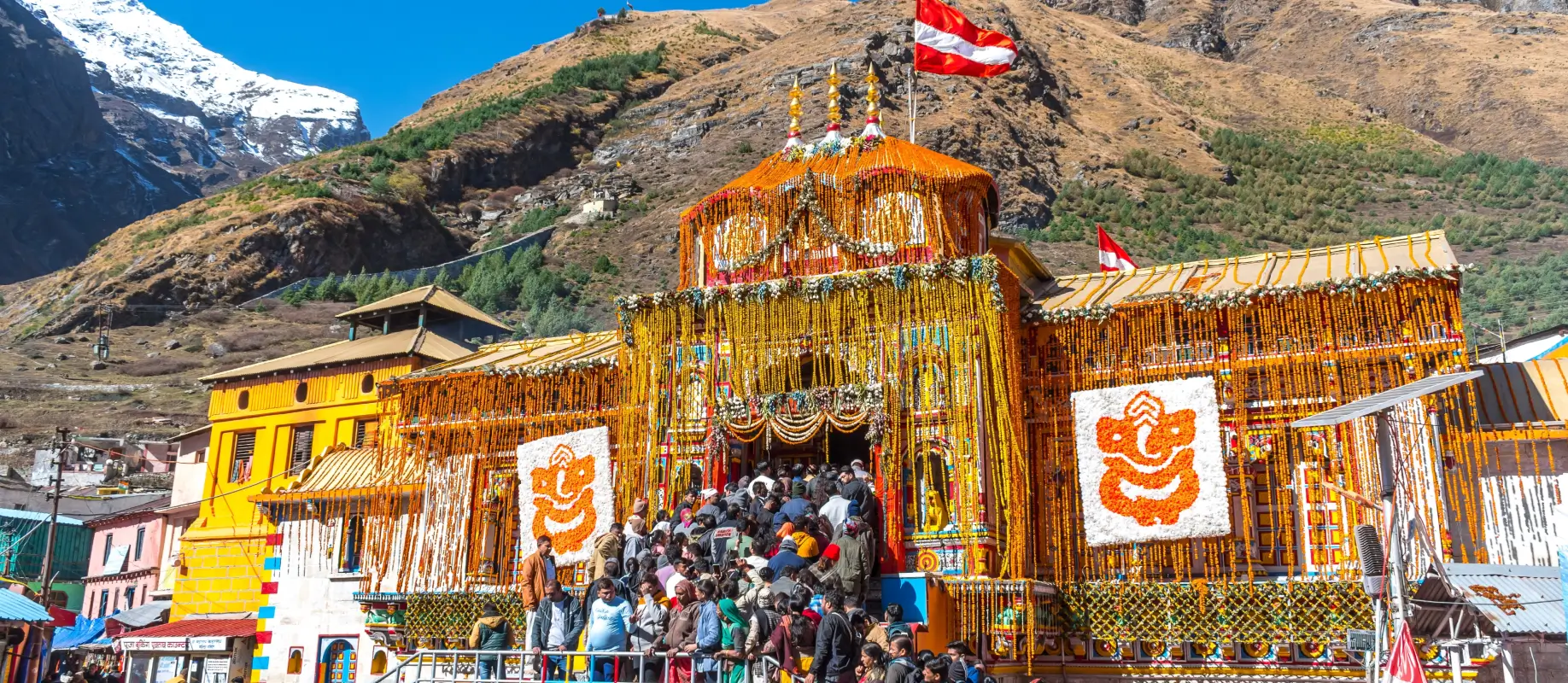
When you stand in the main courtyard of the Badrinath Temple waiting for the morning gates to open, the air is cold enough to make your breath look like smoke. Most people keep their eyes glued to the temple doors, wrapped tightly in woollen shawls. But if you glance up and slightly to the west, right past the colourful temple roof, you will spot a massive white pyramid of ice rising above the dark valley walls.
This is the Neelkanth peak, Badrinath, which travellers often mistake for just another Himalayan wall. It is actually one of the most distinctive mountains near Badrinath, shaping both the local geography and the old stories of this sacred town.
First Light on the Ice
If you get up around 5:00 AM, the valley floor remains dark and cold. The Alaknanda River flows noisily through the town, still covered in grey morning shadows. But the very top of the Neelkanth mountain is already bright. Because of the Neelkanth peak's height of 6,596 metres (21,640 ft), it catches the first rays of the morning sun long before the town down below gets any light at all.
The snow changes colour from a dull grey to a sharp, bright gold.
Watching this change happen from the temple bridge is a quiet experience. Local guides and frequent travellers call it the "Queen of Garhwal" simply because of how gracefully it sits over the valley.
The Neelkanth peak view from Badrinath is entirely dependent on the weather. In May and June, the sky usually stays clear until mid-afternoon, giving you a perfect view of the snowy slopes. By late August and September, clouds often roll in early, hiding the summit behind grey mists. Sometimes you have to wait for hours just to catch a five-minute opening in the clouds.
The Balance Between Shiva and Vishnu
A classic question among visitors is why a mountain overlooking a temple dedicated to Lord Vishnu is named after Lord Shiva. Neelkanth is one of the names of Shiva, referencing the blue throat he got after drinking the cosmic poison.
The geographical placement tells its own story. The mountain stands roughly 9 kilometres west of the Badrinath shrine. It forms a massive natural partition in the geography of the Garhwal region.
Local legends mention that Lord Shiva used to live in this specific valley. When Lord Vishnu searched for a quiet place to sit in deep meditation, he chose this region. Out of mutual respect, Shiva moved to Kedarnath but left behind this grand structure.
Another local belief suggests that Shiva created this heavy ridge to keep a physical boundary between Kedarnath and Badrinath. This happened after he grew unhappy with the priests of the region and wanted to ensure a clear separation between the two holy valleys. Today, it stands as a reminder of both deities existing in the same mountain ecosystem.
Exploring the Base of the Peak
Most people content themselves with looking at the peak from the hot springs or the temple stairs. But you can actually get closer if your knees and lungs are up for a walk.
A trail leads toward the mountain's base camp. It is about a 6-kilometer trek that starts from the back of the Badrinath town. The path is steep, rocky, and uneven, but it takes you away from the temple crowds and into a much quieter alpine landscape.
Along this walking route, you will pass Charan Paduka.
Charan Paduka is a natural rock meadow where a set of footprints is preserved on a large boulder. Pilgrims stop here to offer prayers, believing these to be the actual footprints of Lord Vishnu when he descended to Earth.
The trek to Charan Paduka takes about two hours for a person with average fitness. If you continue past this point, the path gets thinner and the wind picks up significantly. You walk alongside glacial moraines and small streams fed by melting ice.
The actual summit is an entirely different story. Looking at it from below, you can see why it took mountaineers decades to successfully climb it. The ridge looks like a steep, icy tooth. While thousands of pilgrims look at the mountain daily, the actual peak is strictly for professional climbing expeditions with specialised gear. The vertical ice faces and frequent avalanches make it one of the toughest climbs in the Garhwal Himalayas
A Few Realities for Your Visit
When planning to see the neelkanth peak Badrinath, it helps to keep a few practical things in mind.
- Bring Binoculars: The scale of the mountains here is deceptive. The peak looks close, but it is kilometres away. A basic pair of binoculars lets you see the massive ice blue crevasses on the upper ridges.
- The Best Vantage Points: You do not get a great view from inside the temple courtyard because of the high walls. The best views are from the concrete bridge crossing the Alaknanda River, or from the open fields near Mana Village just a short walk north.
- Morning vs Evening: Evenings are beautiful, but the setting sun drops behind the mountain, putting the town in early shadow. The morning is when the mountain shows its colours.
One of the more interesting Neelkanth Peak facts is that despite its sharp angle, snow clings to its walls all year round. Even in late September, when the lower hills have turned completely brown and rocky, the pyramid stays white.
It is a quiet presence that stays with you long after you leave the temple bells behind.